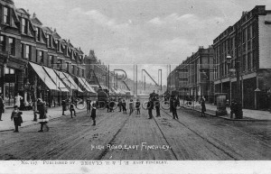
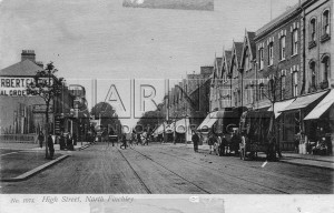
Seen from the junction of Chapel Street, now gone. Kitchener Road on right hand side. The shops beyond Kitchener Road were built in 1903, but the tram line opened in 1905, is yet to be built
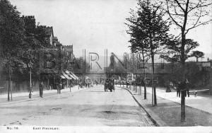
This view looking down towards East Finchley station was taken before the introduction of trams in 1905
Junction of Woodside Park Road further up on right of .
Looking towards Tally Ho Corner, with Winifred Place is on right. The tall building on left occupied by 778 High Road, corner of Friern Park, is dated 1906, and appears in this shot to be still under construction.
Looking towards Whetstone just after junction with Torrington park
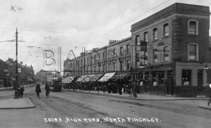
Taken from the junction of Percy Road
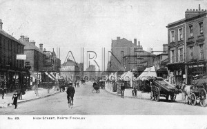
Tally Ho Corner seen from Percy Road. Note the ÒgrowlerÓ four wheeled cab on the left
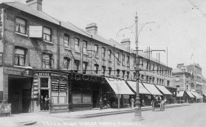
This row of shops, with Stanhope road on left, is still recognisable today. Belgrave Tavern is on the right
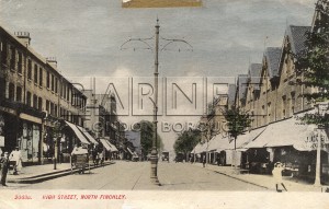
View looking north from Tally Ho Corner. The absence of tram lines means that this photograph was taken before 1905.
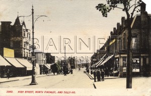
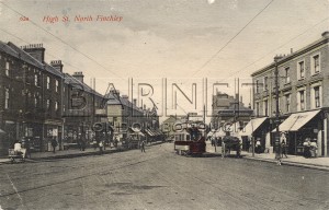
View looking north with Lodge Lane on the left of the picture. The tram lines indicate that the picture was taken after 1905.
Just after railway bridge going toward the High Road. Park Lodge and Congregational Church in view (right)
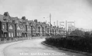
All of these houses were demolished by the 1930s, the strange pyramidical roof in the background being St Mary's Abbey