Single Image Page
“N.W.Kent 1769”, North West kent 1769
“N.W.Kent 1769”, North West kent 1769
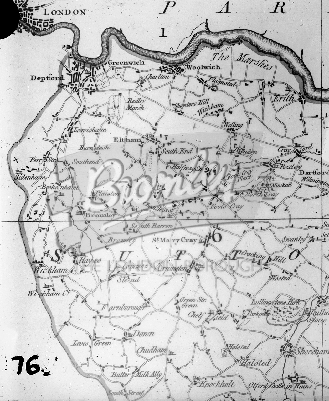
"N.W.Kent 1769" , North West kent 1769
A map of north West Kent from Greenwich to Knockholt. The date, 1769 is hand drawn onto the slide.
Digital download available soon
While we rollout digital download option for this site, please contact development@maxcommunications.co.uk if you would like to buy a digital download of this image. Please use the reference bromley-8452
#1700s #DRAWING