Single Image Page
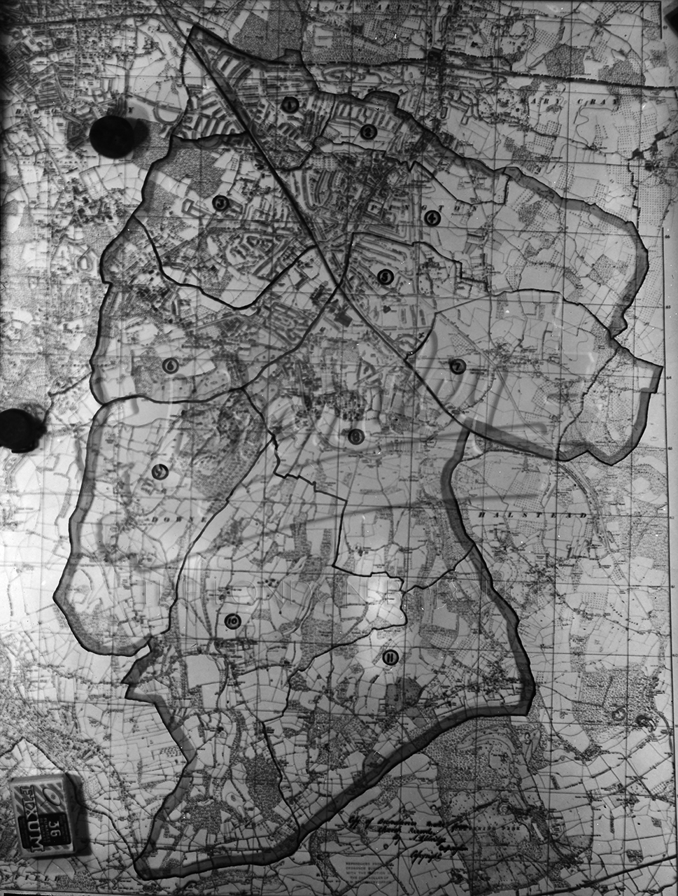
New Orpington Deanery map 1954, Orpington 1954
New Orpington Deanery map 1954, Orpington 1954
New Orpington Deanery map 1954 , Orpington 1954
A Map of land to south and east of Orpington including Downe and Halstead
Buy a High Resolution Version of this Image to Print at Home for £12.00
You can use the button below to buy a high resolution version of this image to print at home.
This image is supplied for private use or study. If you wish to use the image commercially or publish it in any medium, please contact historic.collections@gll.org.
#1950s #Orpington