Single Image Page
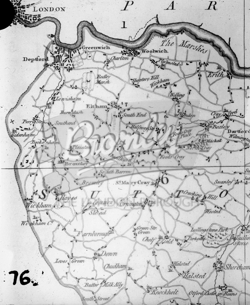
"N.W.Kent 1769" , North West kent 1769
A map of north West Kent from Greenwich to Knockholt. The date, 1769 is hand drawn onto the slide.
1700s • DRAWING •
Buy A Digital Download of this Print
The Borough Photos site no longer provides print copies of the collections. We are currently rolling out a digital download option. If you are interested in a digital copy of this image please email boro@maxcommunications.co.uk
Other Photos Nearby