Single Image Page
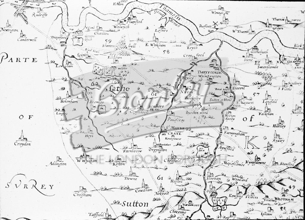
Symondson's Map of Kent 1595
A map of Kent (part only) showing River Thames to the North, Surrey border to the West, and Darent Valley.Pre 1500 • Rivers •
Buy A Digital Download of this Print
The Borough Photos site no longer provides print copies of the collections. We are currently rolling out a digital download option. If you are interested in a digital copy of this image please email boro@maxcommunications.co.uk
Other Photos Nearby