Single Image Page
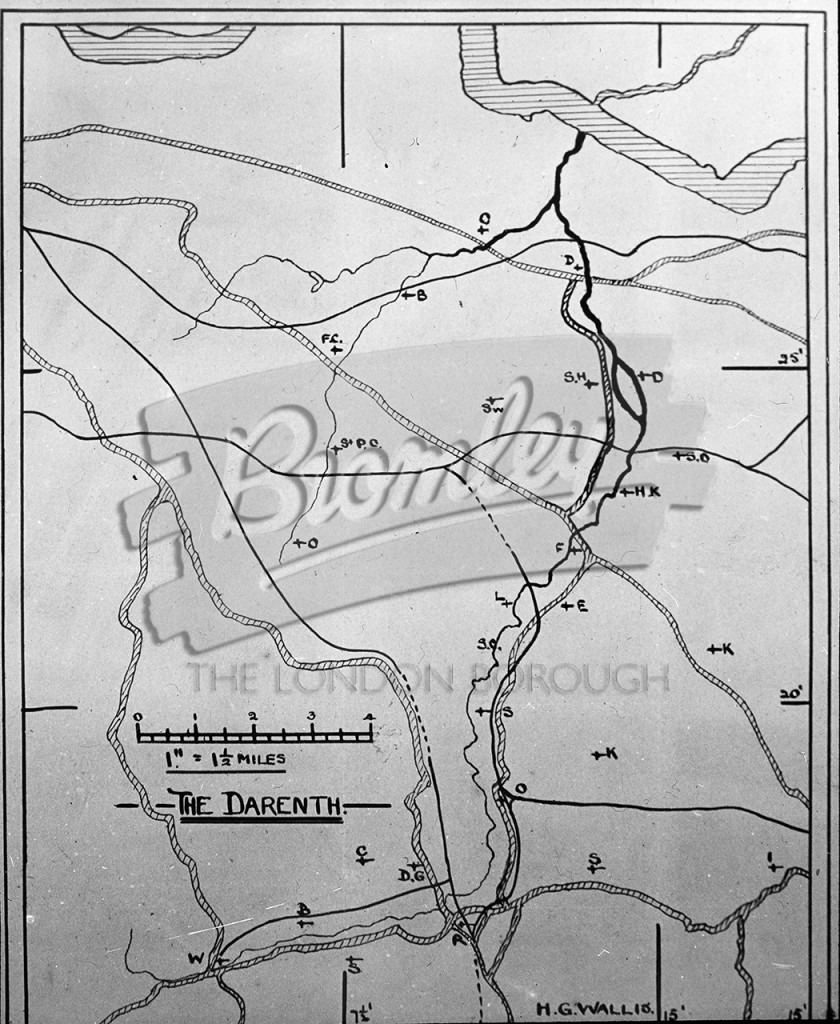
Darenth - map of valley , Darenth undated
A map of the Darenth valley. Map had a scale of 1" to 1.5 miles
Kent • Undated •
Buy A Digital Download of this Print
The Borough Photos site no longer provides print copies of the collections. We are currently rolling out a digital download option. If you are interested in a digital copy of this image please email boro@maxcommunications.co.uk
Other Photos Nearby