A map of Crystal Palace Railway and proposed new tracks of the London, Chatham and Dover Railway.
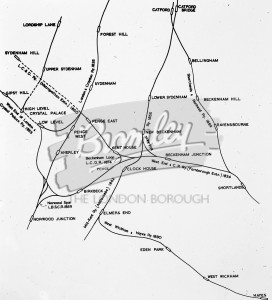
A map of railway lines from Catford from the north to Hayes in the south.
A map of Cator Estate to north-east of Beckenham Junction Station.
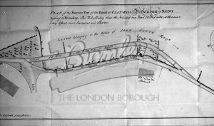
A plan of the narrow part of the road at Clay Hill, Beckenham leading to Bromley. Plan for intended new road. Appears to be drawn by J. Corbett, Lewisham.
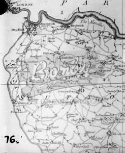
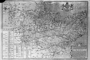
A map of north West Kent from Greenwich to Knockholt. The date, 1769 is hand drawn onto the slide.
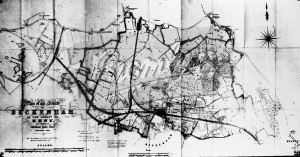
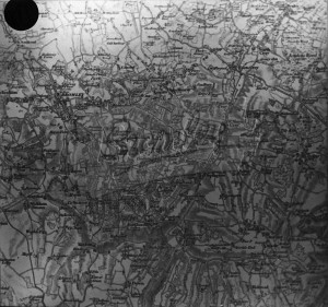
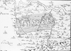
A map of Bromley in the North West to Halstead in the South East. Difficult to read.
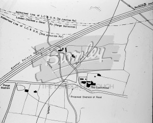
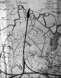
A proposed diversion of footpath at Beckenham, 3rd May 1866. Showing Lower Sydenham and Beckenham Junction Station.
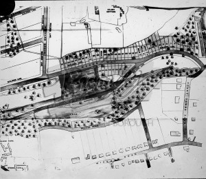
A Plan of proposed development along Manor Way Beckenham, showing original site and footprint of Kelsey Manor,Kelsey Park and surrounding roads.
Plan of Bromley Common showing surrounding fields and wooded areas