Single Image Page
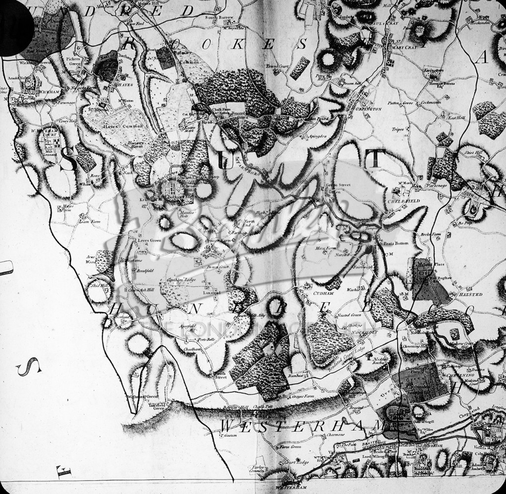
Bromley to Westerham 1760 , Bromley 1760
A map showing the landscape around Bromley and Westerham including Hayes, Halsted and St Mary Cray. From the G.W.Smith archive.
1700s • Bromley • DRAWING • Hayes • St Mary Cray •
Buy A Digital Download of this Print
The Borough Photos site no longer provides print copies of the collections. We are currently rolling out a digital download option. If you are interested in a digital copy of this image please email boro@maxcommunications.co.uk
Other Photos Nearby