Single Image Page
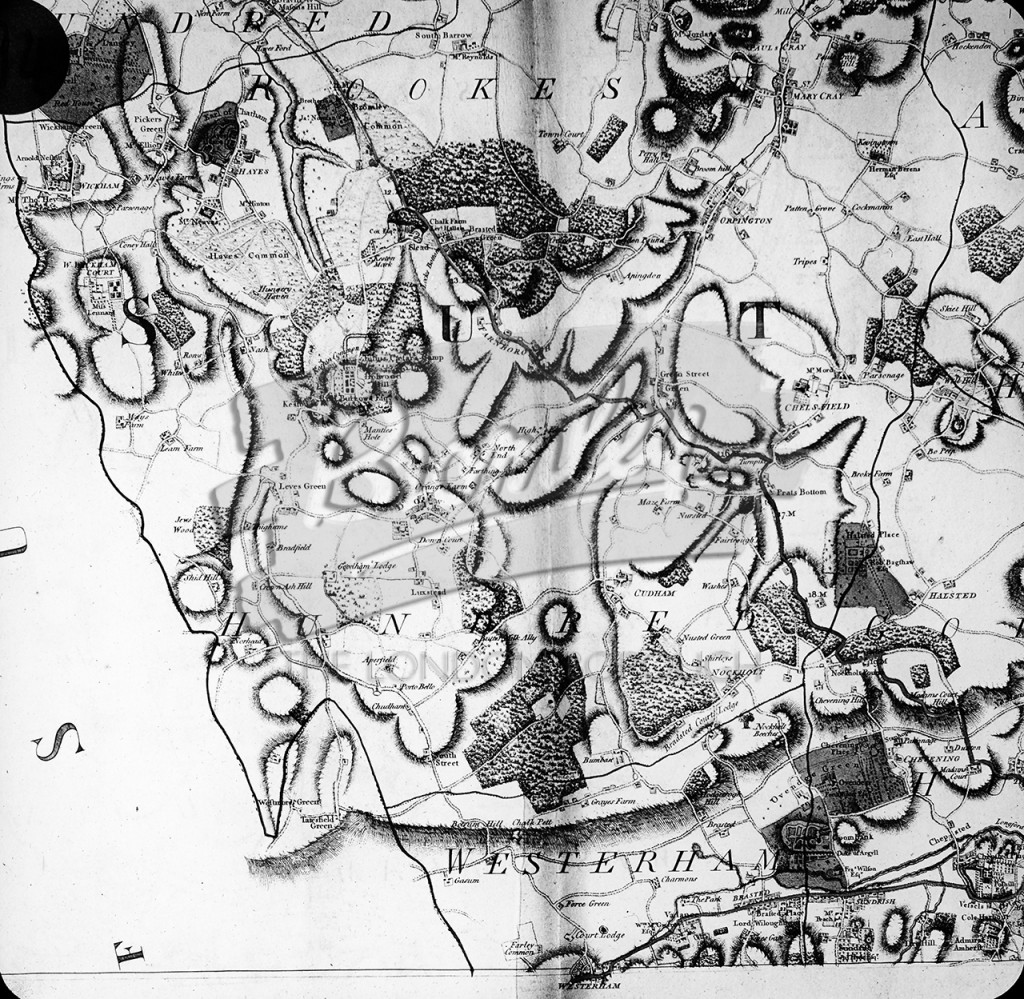
Bromley to Westerham 1760 , Bromley 1760
A map showing the landscape around Bromley and Westerham including Hayes, Halsted and St Mary Cray. From the G.W.Smith archive.
1700s • Bromley • DRAWING • Hayes • St Mary Cray •
Buy This Print
| Size | Price (inc VAT) | Shipping UK (6"x4" & 10"x8" £2.50) (Other £3.99) |
Worldwide (£5.99) |
| 6"x4" | £8.75 | ||
| 10"x8" | £15.50 | ||
| 16"x12" | £25.00 | ||
| 20"x16" | £31.25 |
Other Photos Nearby