Single Image Page
Lane to Kevingtown, St Mary Cray late 19th C
Lane to Kevingtown, St Mary Cray late 19th C
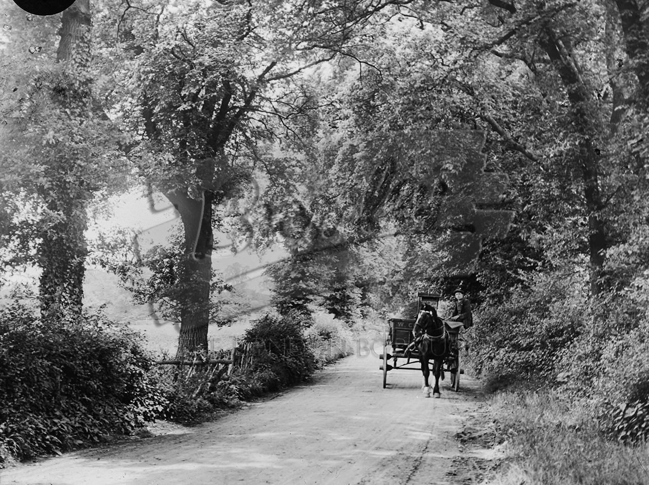
Lane to Kevingtown , St Mary Cray late 19th C
Horse and wagon on lane to Kenningtown, near entrance to Orpington House. Situated just a mile to the south-__east of urban St Mary Cray, Kevington is a rural hamlet (also spelt Kevingtown), with farms, nurseries and old cottages. The Ordnance Survey map of 1876 shows Kevingtown and Kevington as two separate places – the former at the top of the hill, the latter on its western slope – but this could have been due to some cartographic confusion.
Buy a High Resolution Version of this Image to Print at Home for £12.00
You can use the button below to buy a high resolution version of this image to print at home.
This image is supplied for private use or study. If you wish to use the image commercially or publish it in any medium, please contact historic.collections@gll.org.
#1890s #Farms #Orpington #St Mary Cray #Transport