Single Image Page
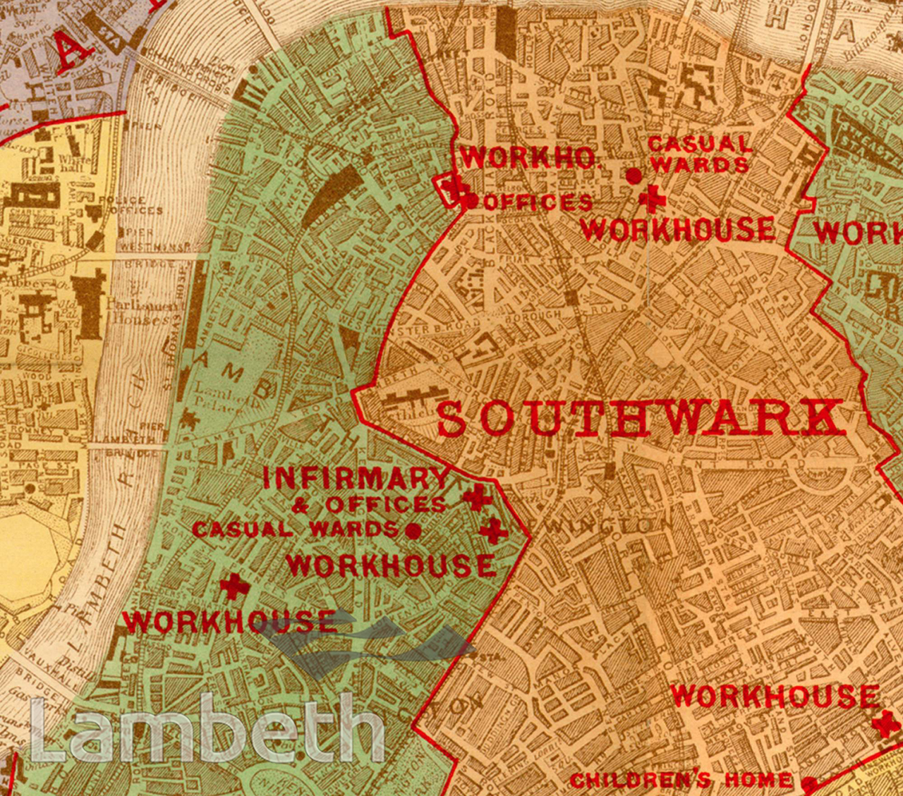
POOR LAW MAP, NORTH LAMBETH
POOR LAW MAP, NORTH LAMBETH
A map of Poor Law Administration in Lambeth and Southwark showing the workhouses and infirmaries. Lambeth's two workhouses were in Black Prince (Princes) Road and Renfrew Road. Published by Edward Stanford in 1905.
| Details | |
|---|---|
| Collection: | |
| Image type: | |
| Artist: | |
| Ref: | 09972 |
| Identifier: | 2/1905/M199 |
| Date: | 1905 |
#1901 - 1925 #Print #WELFARE AND SOCIAL INSTITUTIONS
