Single Image Page
MAP OF PROPOSED LOUGHBOROUGH ROAD ESTATE
MAP OF PROPOSED LOUGHBOROUGH ROAD ESTATE
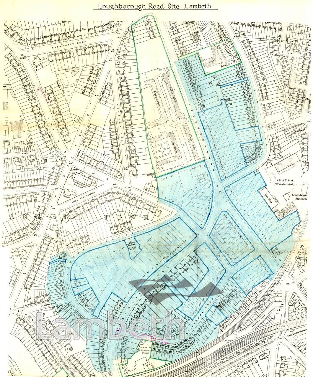
A map of the proposed Loughborough Road Estate for the LCC Housing and Valuation Department. Compulsory purchase orders were taken out by the LLC in the post-war period usually for open spaces, schools and health care centres. This estate required the demolition of many terraces of early Victorian houses, creating space for 1029 dwellings. Dated 14th August 1952.
Buy a High Resolution Version of this Image to Print at Home for £18.00
You can use the button below to buy a high resolution version of this image to print at home.
This image is supplied for private use or study. If you wish to publish the image in any medium, please complete and return the copyright declaration, telling us about your intended use. Please return the completed form to archives@lambeth.gov.uk.
Download commercial reproduction application form here.
| Details | |
|---|---|
| Collection: | |
| Image type: | Drawing |
| Artist: | |
| Ref: | 14144 |
| Identifier: | LBL/BV/PF/29 |
| Date: | 1952 |
#1951 - 1975 #ARCHITECTURE / BUILDINGS #Drawing #LOUGHBOROUGH JUNCTION