Single Image Page
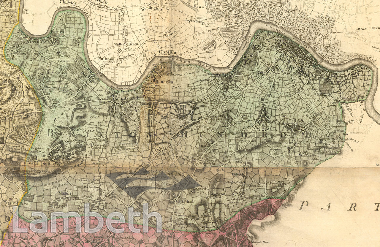
BRIXTON HUNDRED MAP, 1760-70
BRIXTON HUNDRED MAP, 1760-70
Brixton Hundred map by John Rocque, taken from his 'Topographical Map of the County of Surrey', 1760-70.
| Details | |
|---|---|
| Collection: | |
| Image type: | |
| Artist: | John Rocque |
| Ref: | 14735 |
| Identifier: | 1/1762/M375 |
| Date: | c.1762 |
#-Before 1850 #Print #ROADS AND STREETS
