Single Image Page
KNIGHT’S HILL ROAD, WEST NORWOOD
KNIGHT’S HILL ROAD, WEST NORWOOD
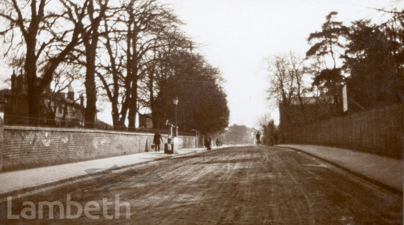
Knight's Hill Road (present Knight's Hill) looking south, showing Holderness House and grounds on the left which was demolished in 1919 for Furneaux Avenue. Ref. PR Survey 8573
Buy a High Resolution Version of this Image to Print at Home for £18.00
You can use the button below to buy a high resolution version of this image to print at home.
This image is supplied for private use or study. If you wish to publish the image in any medium, please complete and return the copyright declaration, telling us about your intended use. Please return the completed form to archives@lambeth.gov.uk.
Download commercial reproduction application form here.
| Details | |
|---|---|
| Collection: | Printed Photograph |
| Image type: | |
| Artist: | |
| Ref: | 02899 |
| Identifier: | PR Survey 8573 |
| Date: | 1931 |
#1926 - 1950 #Photograph #ROADS AND STREETS #WEST NORWOOD
No location data for this post.