Single Image Page
CHEVIOT ROAD, WEST NORWOOD
CHEVIOT ROAD, WEST NORWOOD
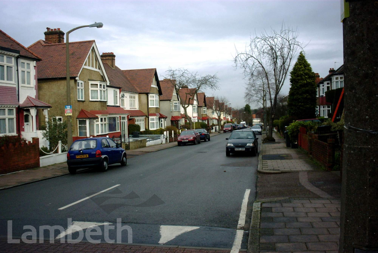
Cheviot Road, West Norwood, looking east from near Tredwell Road. The houses were built on the site of Treadwell's Farm and the farm pond was at the bottom of Cheviot Road. This was fed by a tributary of the River Effra, which ran north-east between the current back gardens of the houses in Cheviot and Casewick Roads. Photographed here on 15th January 2004. Digital image courtesy of Keith Holdaway.
Ref. SPd 4029/4/Lam.444
Buy a High Resolution Version of this Image to Print at Home for £18.00
You can use the button below to buy a high resolution version of this image to print at home.
This image is supplied for private use or study. If you wish to publish the image in any medium, please complete and return the copyright declaration, telling us about your intended use. Please return the completed form to archives@lambeth.gov.uk.
Download commercial reproduction application form here.
| Details | |
|---|---|
| Collection: | |
| Image type: | Digital Photograph |
| Artist: | Keith Holdaway |
| Ref: | 06461 |
| Identifier: | SPd 4029/4/Lam.444 |
| Date: | 2004 |
#2001 - 2025 #Digital #Keith Holdaway Photographer #WEST NORWOOD
No location data for this post.