Single Image Page
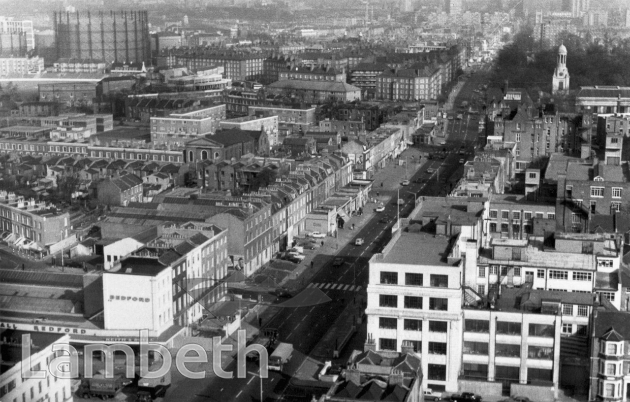
CLAPHAM ROAD, KENNINGTON
CLAPHAM ROAD, KENNINGTON
An aerial view north-east of the Clapham Road, looking towards Kennington. St Mark's spire is on the right and The Oval gas holders upper left.
| Details | |
|---|---|
| Collection: | Department of Town Planning |
| Image type: | Photograph |
| Artist: | |
| Ref: | 08446 |
| Identifier: | LBL/DTP/UD/2/1/10/41 |
| Date: | c.1975 |
#1951 - 1975 #Department of Town Planning #Photograph #ROADS AND STREETS #SOUTH LAMBETH
