Single Image Page
DURNING ROAD, UPPER NORWOOD
DURNING ROAD, UPPER NORWOOD
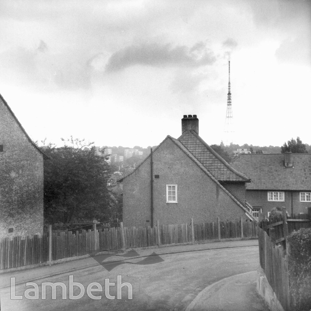
Durning Road in Upper Norwood, looking east towards the TV transmitter on Sydenham Ridge. Town Planning photograph dated August 1966.
Buy a High Resolution Version of this Image to Print at Home for £18.00
You can use the button below to buy a high resolution version of this image to print at home.
This image is supplied for private use or study. If you wish to publish the image in any medium, please complete and return the copyright declaration, telling us about your intended use. Please return the completed form to archives@lambeth.gov.uk.
Download commercial reproduction application form here.
| Details | |
|---|---|
| Collection: | Department of Town Planning |
| Image type: | Photograph |
| Artist: | |
| Ref: | 10459 |
| Identifier: | LBL/DTP/UD/6/2/4/335 |
| Date: | 1966 |
#1951 - 1975 #Department of Town Planning #HOUSING #Photograph #UPPER NORWOOD