Single Image Page
PADFIELD STREET, LOUGHBOROUGH JUNCTION
PADFIELD STREET, LOUGHBOROUGH JUNCTION
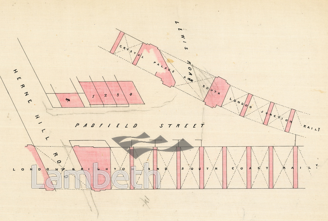
A plan showing Padfield Street, Loughborough Junction - later incorporated with Lewis Road to become Padfield Road, adjacent to the Crystal Palace & South London Railway and the London, Brighton & South Coast Railway.
From Apportionment Files dated 1876. The files show the apportionment of costs to each owner for the construction of paths and roadways adjacent to their properties.
| Details | |
|---|---|
| Collection: | |
| Image type: | Drawing |
| Artist: | |
| Ref: | 14547 |
| Identifier: | LBL/DCEPS/SL/2/176 |
| Date: | 1876 |
#1876 - 1900 #Drawing #HOUSING #LOUGHBOROUGH JUNCTION
