Single Image Page
BRIXTON HUNDRED MAP, 1760-70
BRIXTON HUNDRED MAP, 1760-70
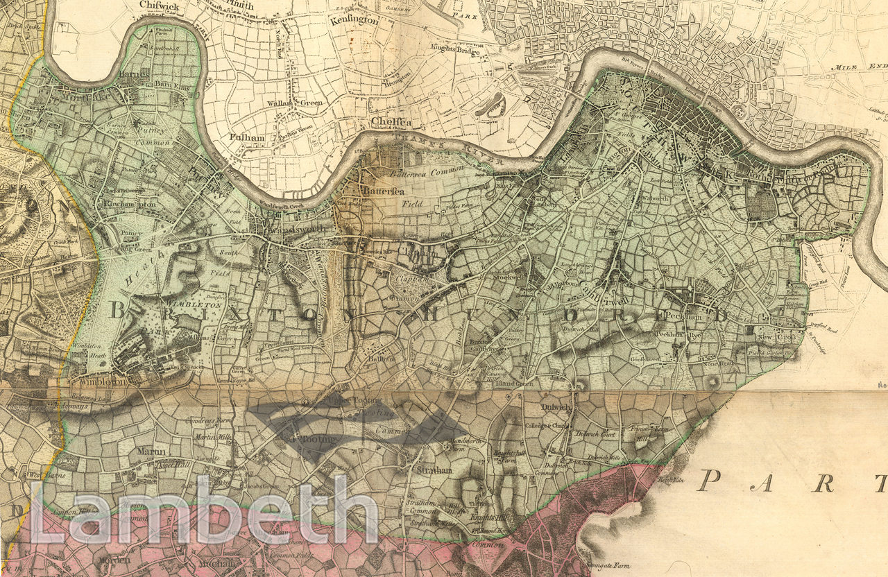
Brixton Hundred map by John Rocque, taken from his 'Topographical Map of the County of Surrey', 1760-70.
Buy a High Resolution Version of this Image to Print at Home for £12.00
You can use the button below to buy a high resolution version of this image to print at home.
This image is supplied for private use or study. If you wish to publish the image in any medium, please complete and return the copyright declaration, telling us about your intended use. Please return the completed form to archives@lambeth.gov.uk.
Download commercial reproduction application form here.
| Details | |
|---|---|
| Collection: | |
| Image type: | |
| Artist: | John Rocque |
| Ref: | 14735 |
| Identifier: | 1/1762/M375 |
| Date: | c.1762 |
#-Before 1850 #Print #ROADS AND STREETS