Single Image Page
CROXTED ROAD, HERNE HILL
CROXTED ROAD, HERNE HILL
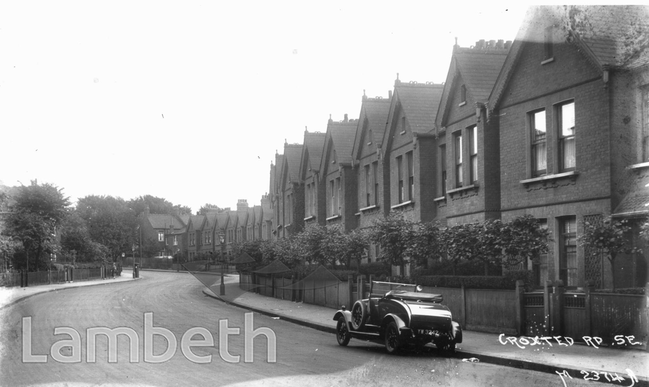
Croxted Road traces the route of an ancient cross-country trackway and known as 'Crokstrele' in 1435. It was a built up as a suburban residential road during the 1870s when given the present name. View looking towards Gipsy Hill and Upper Norwood, almost adjacent to No.327. ID; SP685
Buy a High Resolution Version of this Image to Print at Home for £12.00
You can use the button below to buy a high resolution version of this image to print at home.
This image is supplied for private use or study. If you wish to publish the image in any medium, please complete and return the copyright declaration, telling us about your intended use. Please return the completed form to archives@lambeth.gov.uk.
Download commercial reproduction application form here.
| Details | |
|---|---|
| Collection: | Johns |
| Image type: | Photograph |
| Artist: | Johns |
| Ref: | 02887 |
| Identifier: | SP685 |
| Date: | c. 1912 |
#1901 - 1925 #HERNE HILL #HOUSING #Johns #Photograph #ROADS AND STREETS #TRANSPORT