Single Image Page
MANOR HOUSE AND LONG BARN, KENNINGTON ROAD : MAP
MANOR HOUSE AND LONG BARN, KENNINGTON ROAD : MAP
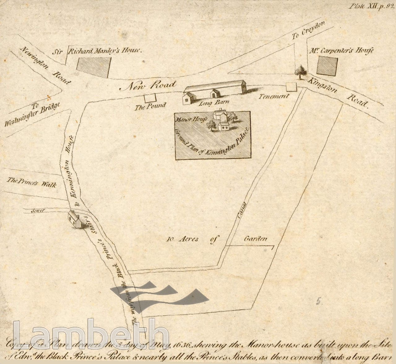
Map of the Manor House, Kennington. Showing the lodge that replaced the original royal palace. The stables existed until the begining of the 19th Century as 'The Long Barn'. Demolished in 1875. Part of the estate of the Prince of Wales (Duchy of Cornwall).
Buy a High Resolution Version of this Image to Print at Home for £12.00
You can use the button below to buy a high resolution version of this image to print at home.
This image is supplied for private use or study. If you wish to publish the image in any medium, please complete and return the copyright declaration, telling us about your intended use. Please return the completed form to archives@lambeth.gov.uk.
Download commercial reproduction application form here.
| Details | |
|---|---|
| Collection: | |
| Image type: | Engraving |
| Artist: | |
| Ref: | 01939 |
| Identifier: | 13/1636/MF |
| Date: | 1636 |
#-Before 1850 #ANIMALS & BIRDS #ARCHITECTURE / BUILDINGS #Engraving #HOUSING #KENNINGTON #OPEN SPACES #ROADS AND STREETS