Single Image Page
NORWOOD BOMB MAP, WORLD WAR II
NORWOOD BOMB MAP, WORLD WAR II
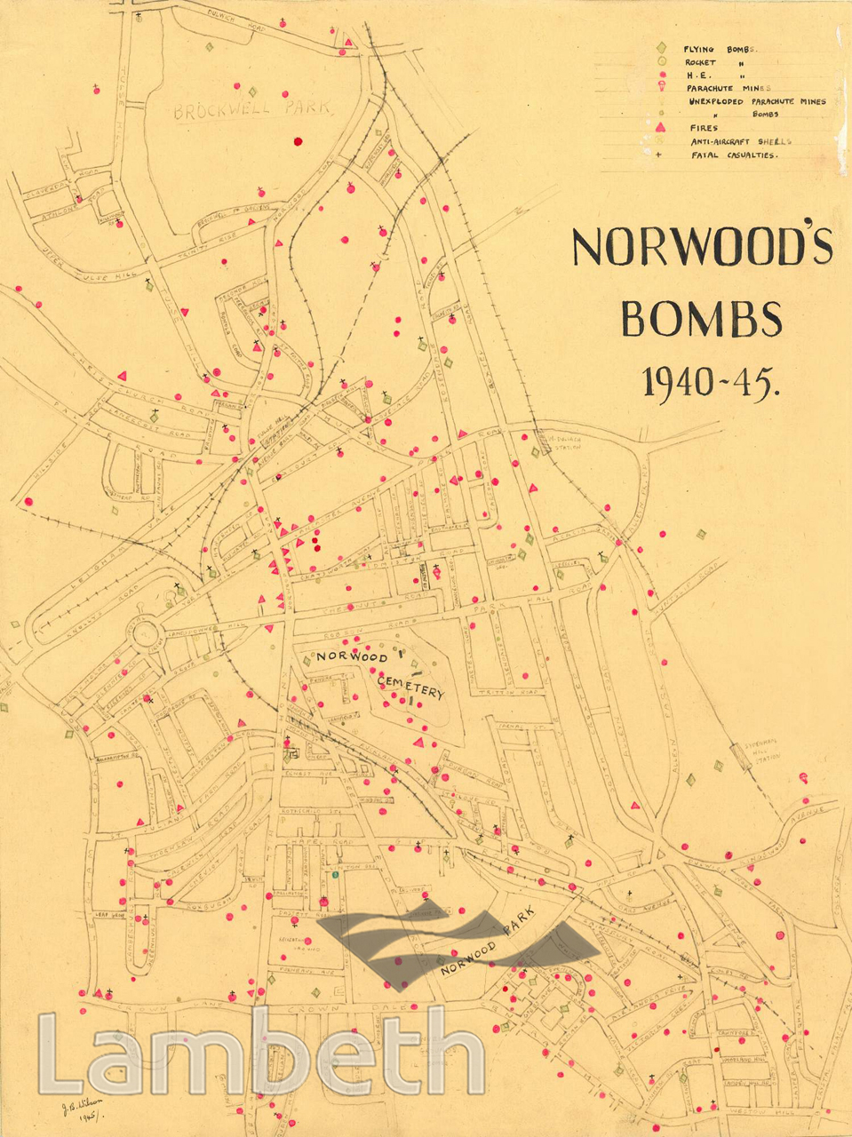
Map of Norwood showing World War II bomb sites from 1940-45, denoting the type of bomb and if casualities were caused. Drawn by J.B. Brown in 1945.
Buy a High Resolution Version of this Image to Print at Home for £12.00
You can use the button below to buy a high resolution version of this image to print at home.
This image is supplied for private use or study. If you wish to publish the image in any medium, please complete and return the copyright declaration, telling us about your intended use. Please return the completed form to archives@lambeth.gov.uk.
Download commercial reproduction application form here.
| Details | |
|---|---|
| Collection: | |
| Image type: | Pen and Ink |
| Artist: | |
| Ref: | 11125 |
| Identifier: | 19/1945/MF |
| Date: | 1945 |
#1926 - 1950 #Pen and Ink #WAR AND ARMED FORCES