Single Image Page
POOR LAW MAP, NORTH LAMBETH
POOR LAW MAP, NORTH LAMBETH
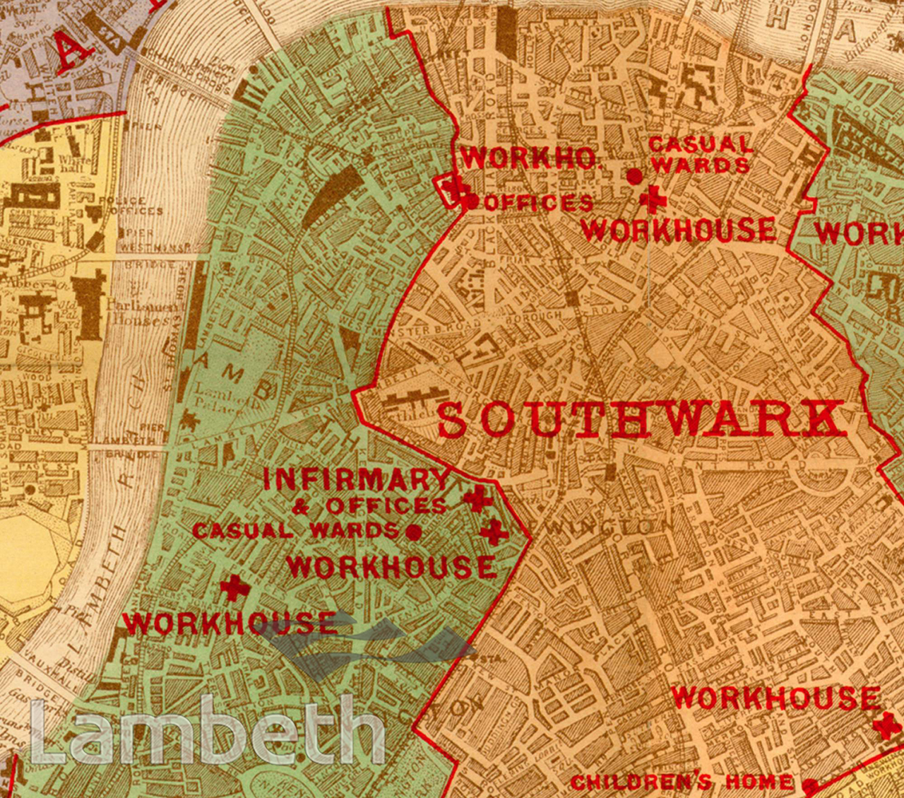
A map of Poor Law Administration in Lambeth and Southwark showing the workhouses and infirmaries. Lambeth's two workhouses were in Black Prince (Princes) Road and Renfrew Road. Published by Edward Stanford in 1905.
Buy a High Resolution Version of this Image to Print at Home for £14.40
You can use the button below to buy a high resolution version of this image to print at home.
This image is supplied for private use or study. If you wish to publish the image in any medium, please complete and return the copyright declaration, telling us about your intended use. Please return the completed form to archives@lambeth.gov.uk.
Download commercial reproduction application form here.
| Details | |
|---|---|
| Collection: | |
| Image type: | |
| Artist: | |
| Ref: | 09972 |
| Identifier: | 2/1905/M199 |
| Date: | 1905 |
#1901 - 1925 #Print #WELFARE AND SOCIAL INSTITUTIONS