Home Page

Home Page Slideshow

  • QUAD HOUSING, CLARENCE AVENUE, CLAPHAM PARK
  • BRIXTON TOWN CENTRE REDEVELOPMENT PROPOSAL
  • BRIXTON TOWN CENTRE REDEVELOPMENT PROPOSAL
  • BLENHEIM GARDENS, BRIXTON
  • BRIXTON TOWN CENTRE REDEVELOPMENT PROPOSAL
  • HARDEL WALK, CRESSINGHAM GARDENS ESTATE, TULSE
  • OLD PEOPLE’S HOME, CHEVIOT ROAD, WEST NOR
  • LAMBETH TOWERS MODEL, LAMBETH ROAD, LAMBETH
  • UPGROVE MANOR WAY, CRESSINGHAM GARDENS ESTATE,
  • OLD PEOPLES’ COMMUNITY, CHEVIOT GARDENS,
  • LUNCHEON CLUB, LAMBETH TOWERS, KENNINGTON ROAD,
  • CHEVIOT GARDENS, WEST NORWOOD
  • BLENHEIM GARDENS ESTATE, BRIXTON HILL
  • LAMBETH TOWERS, LAMBETH ROAD, LAMBETH

Home Page Introduction

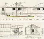
Lambeth Landmark, the fast way into Lambeth Archives image collection.

Lambeth Landmark showcases 16,500 of the best images from Lambeth Archives’ collections of photographs, drawings, prints, watercolours, maps and documents. You can find historic and contemporary pictures of Lambeth’s streets, buildings, people, communities and personalities as well as records of its events and disasters. High quality photographic prints are available of most images from the site which cover Waterloo through Brixton and Clapham to Streatham and Norwood.
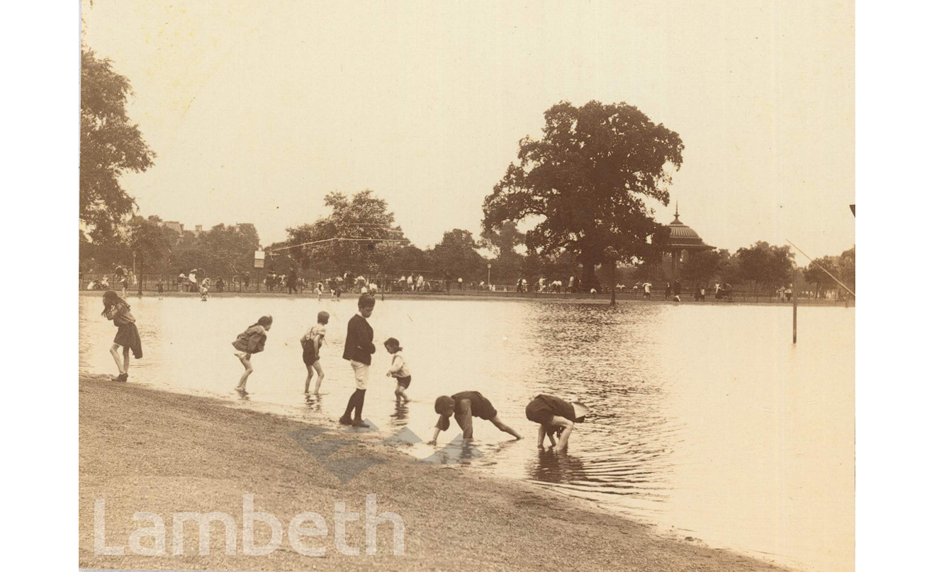
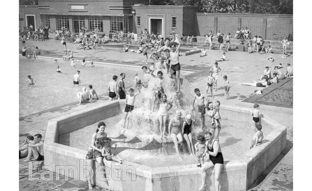
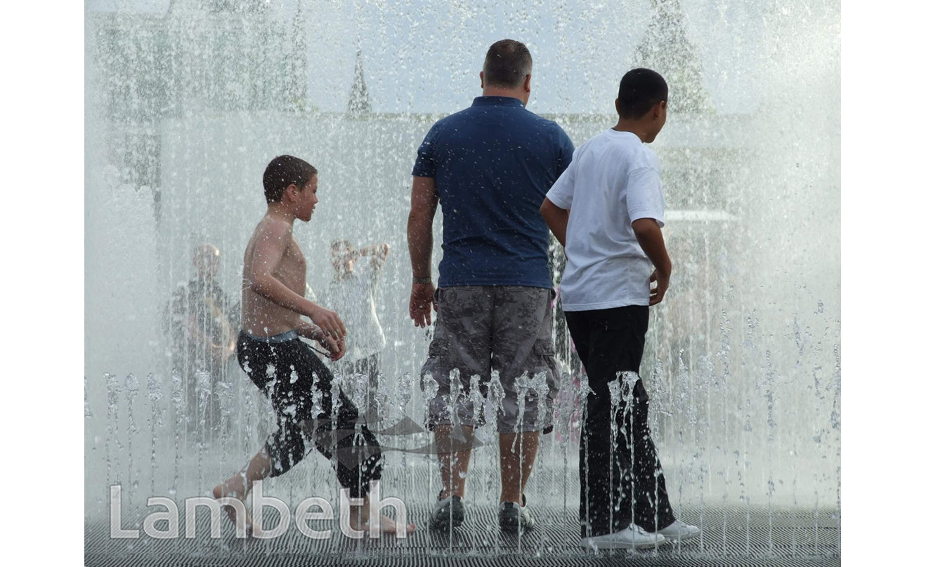
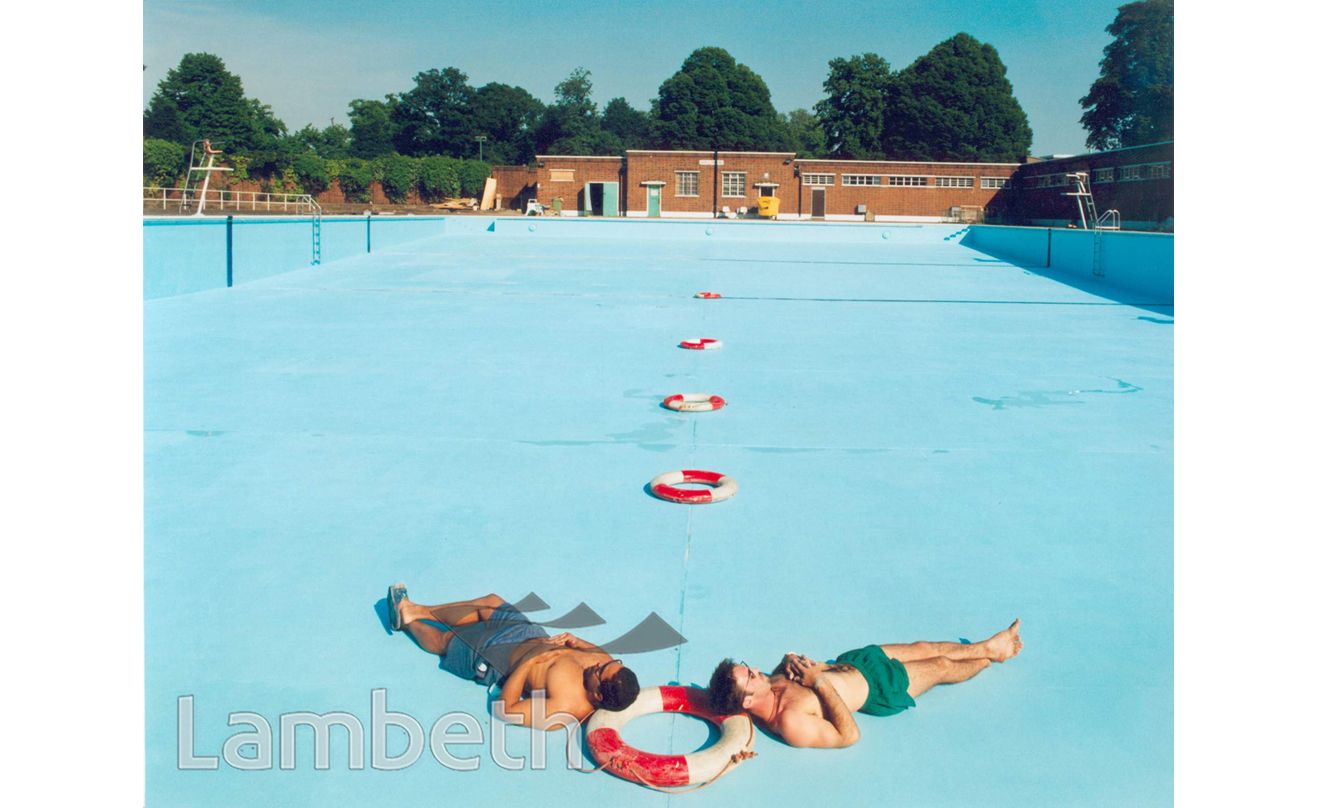
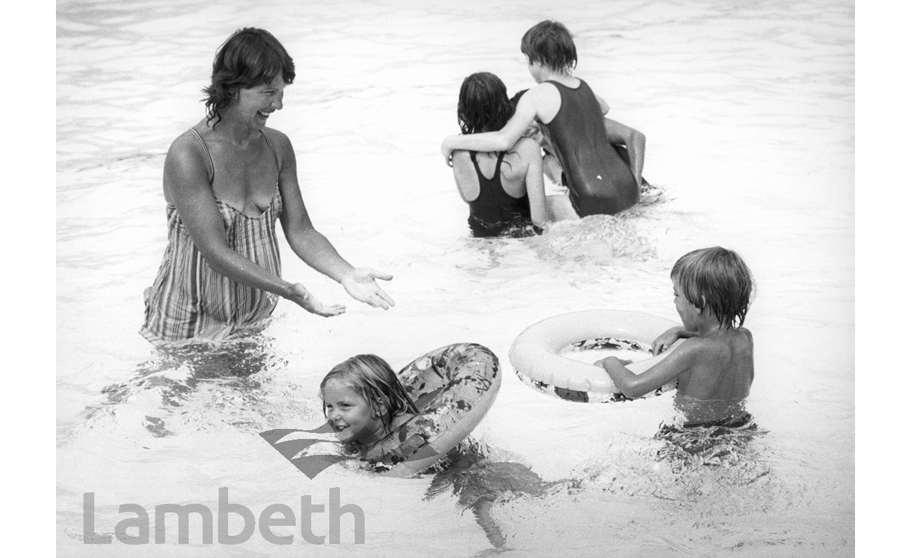
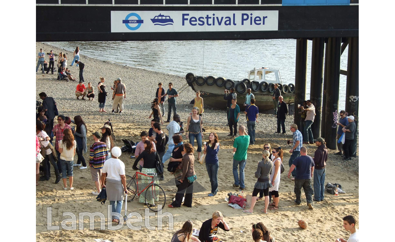
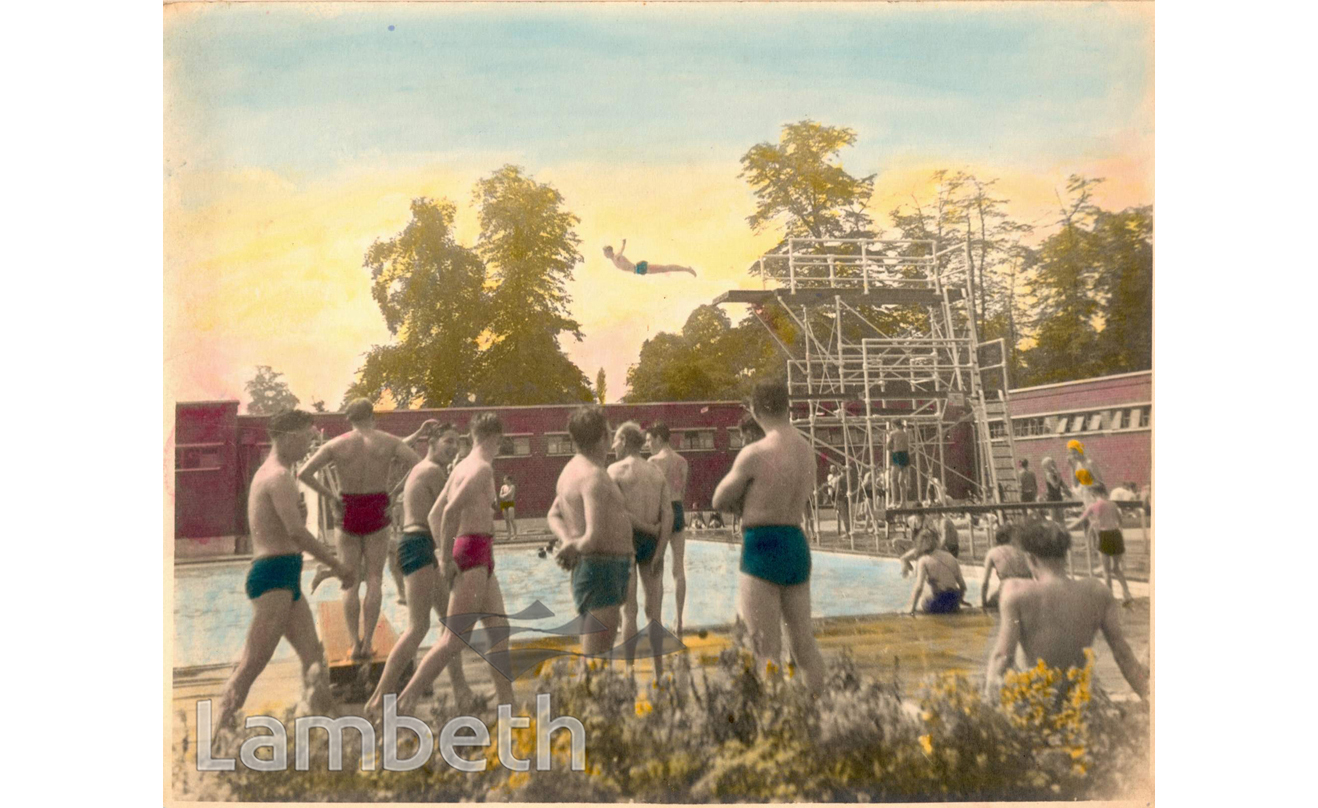
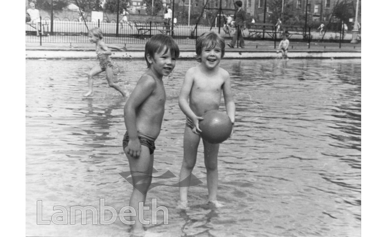
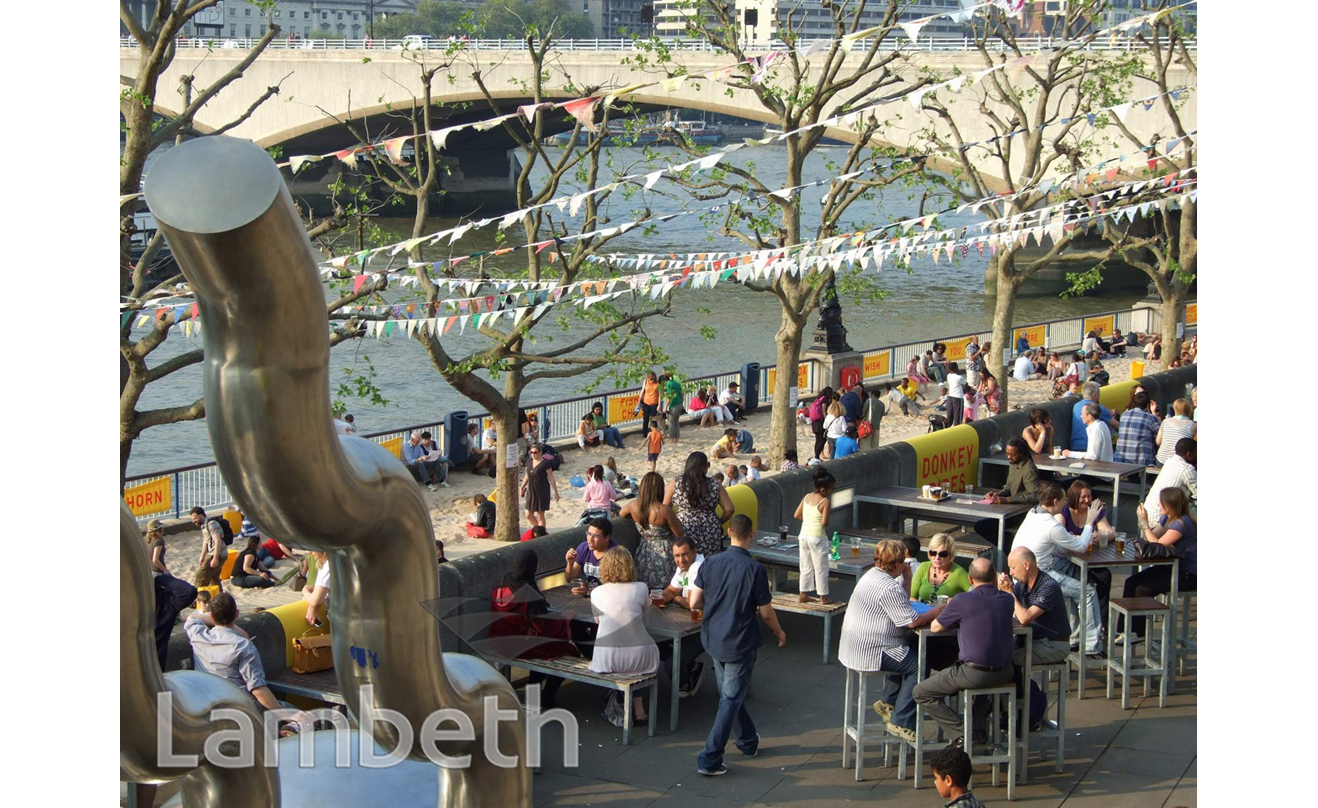
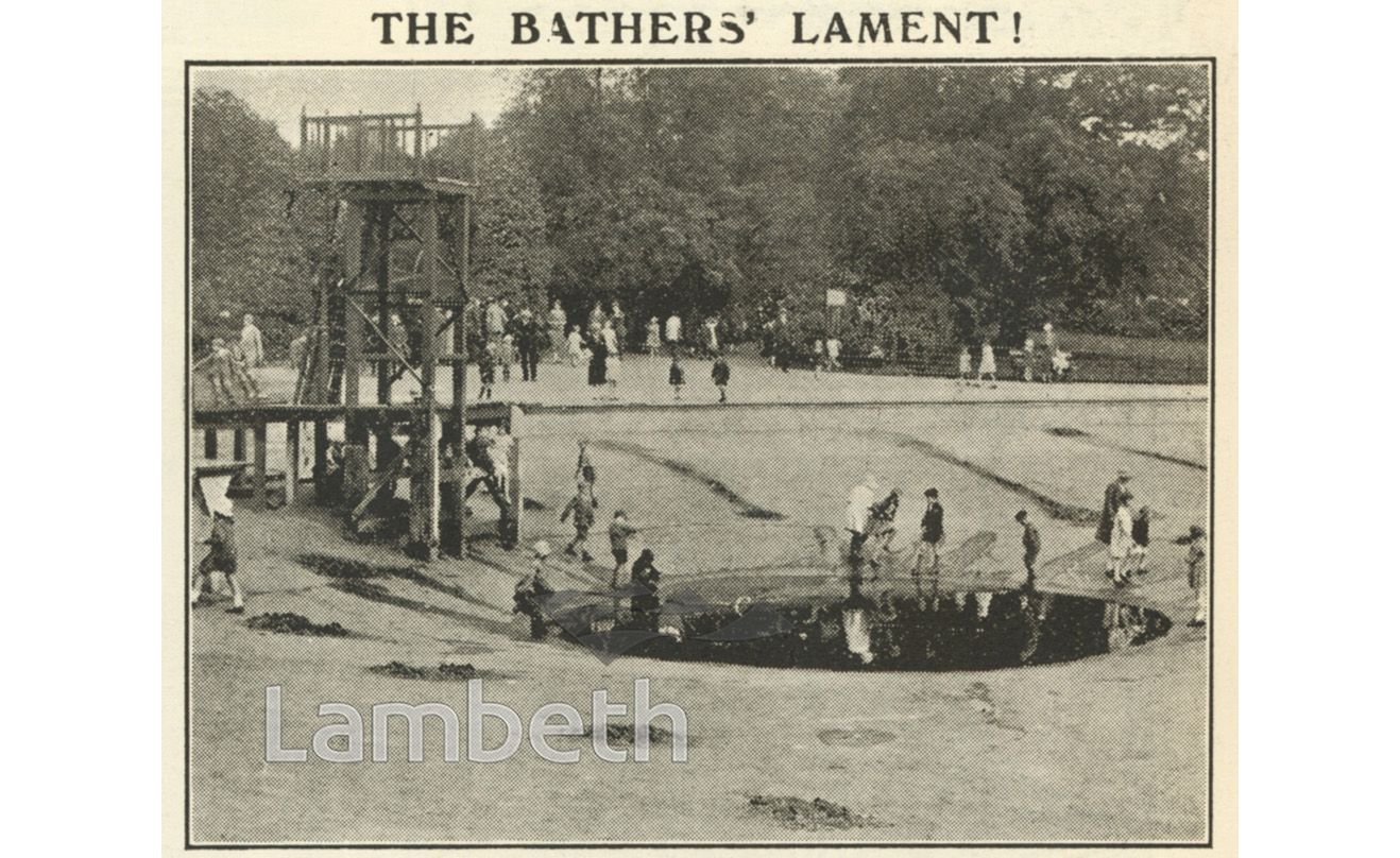
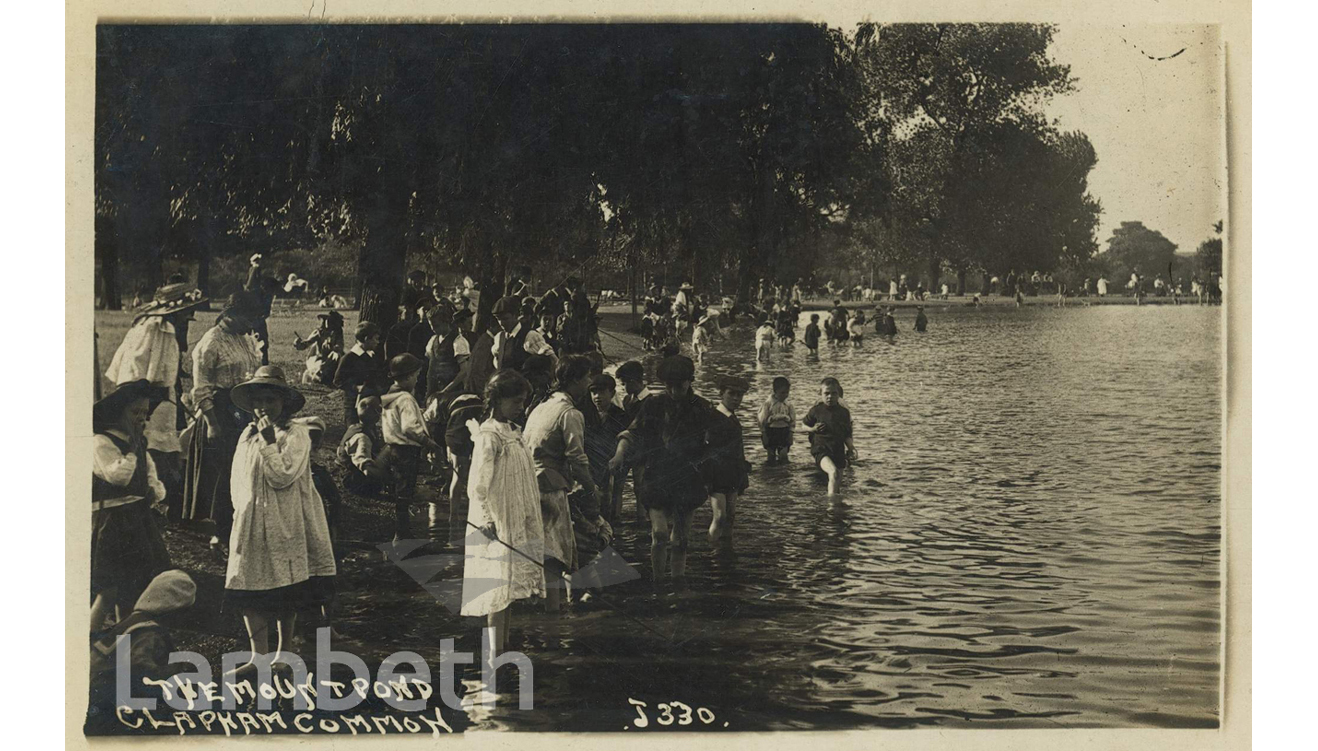
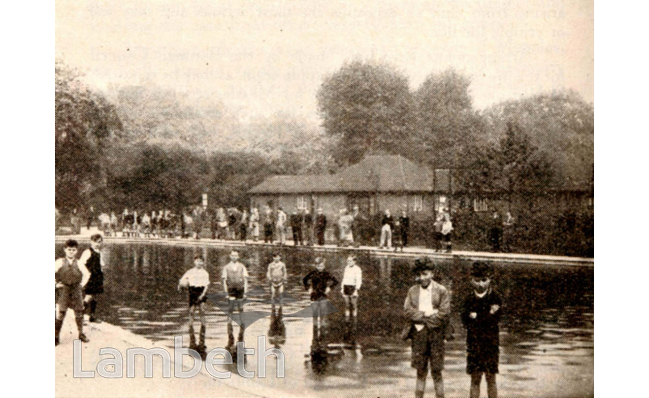
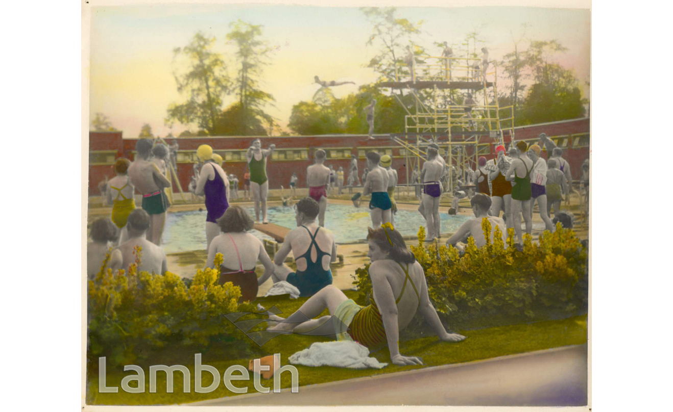
The images featured on this page are examples of public housing complementing our current free exhibition researched and curated by Christiane Felber, ‘Building Homes for Tomorrow, Lambeth’s Council Housing 1965 to 1980’, which runs until 24th September 2025.

If you have any comments or corrections about images on this website please email archives@lambeth.gov.uk or phone 0207 926 6076.

Help with searching

Search for Images ?

Search by Subject

Or Search by Postcode

Search by Postcode ?


Help with searching

Map of Lambeth

Marker
2
5
MarkerMarkerMarker
12
Marker
2
7
8
5
5
7
15
9
15
1401
1183
2
17
20
Marker
2
27
63
8
202
30
Marker
2
322
273
198
487
147
241
478
34
128
211
653
550
584
1118
Leaflet Map data © OpenStreetMap contributors